



Key Takeaways
- The US-Iran war exposed that Indian industries relying on foreign satellite imagery faced supply chain freezes and insurance blackouts during distant conflicts.
- Indian startups like Pixxel have doubled down on building domestic hyperspectral constellations, cutting dependence on US-centric earth-observation pipelines.
- Sovereign satellite APIs are now embedded in Indian fintech, agri-logistics, and maritime trade to de-risk from geopolitical shocks.
- The Indian government has shifted from sole reliance on ISRO to a blended model where private firms like Pixxel launch small sats for civilian use.
- India's space policy ecosystem is evolving to treat satellite data as critical infrastructure rather than a niche commercial service.
What's the news
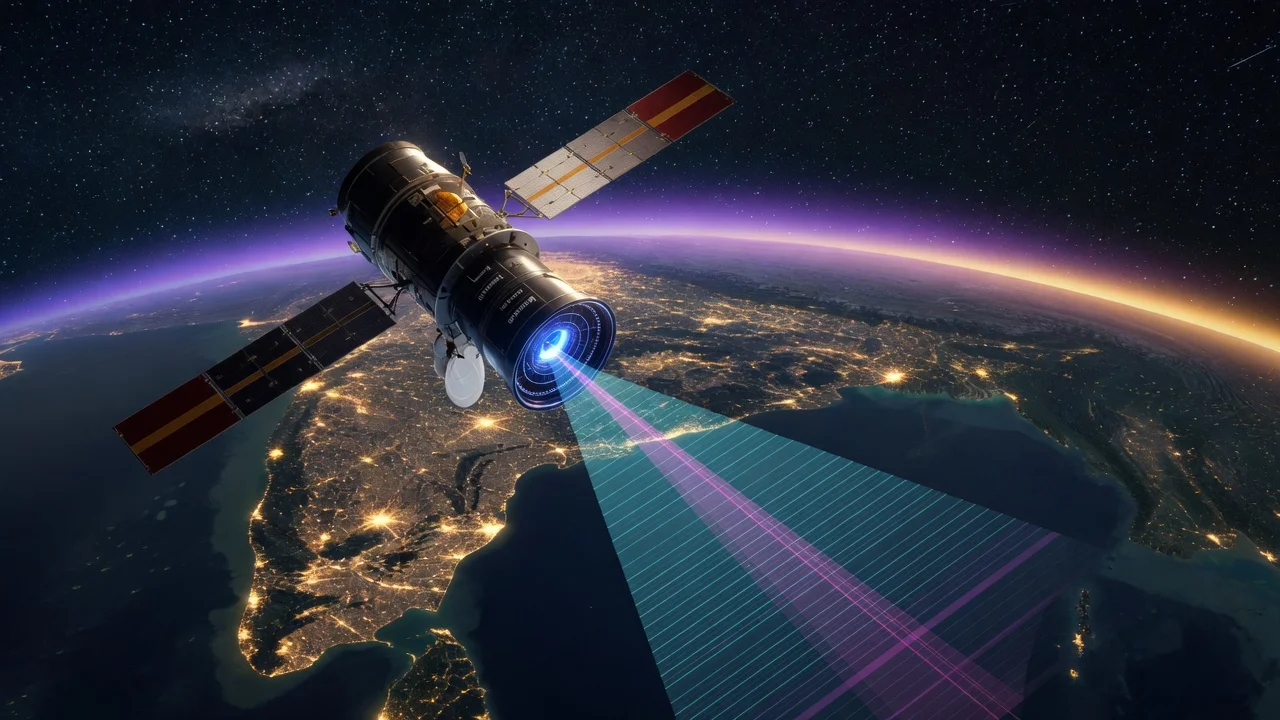
The US-Iran conflict did not occur on Indian soil, yet it sent shockwaves through New Delhi’s strategic and commercial planners. When shipping lanes through the Strait of Hormuz faced blockades, the downstream consequences struck Indian logisticians and insurers with unexpected force. One less visible casualty was the reliability of foreign satellite data. Indian users suddenly faced uncertain access to high-resolution optical imagery, because data pipelines, ground stations, and cloud processing often sit in allied Western jurisdictions. This vulnerability acted as a real-time stress test for India’s space economy. In response, Pixxel and India’s private sector received a tailwind. The startup builds hyperspectral satellites for earth observation. It is now at the centre of a sovereign satellite push that treats domestic space assets as commercial infrastructure, not a defence add-on.
Details
The conflict-driven disruption was two-fold. First, traditional vendors in the United States tightened licensing and telemetry terms for sensitive geospatial data during periods of heightened tension. Second, Indian users discovered contracts could suspend data access if national security exceptions were invoked by the provider’s home government. Pixxel’s founders watched these frictions accumulate and recognized a structural market opening. The constellation promises sub-five-day revisit times across India and the Indian Ocean Region, using hyperspectral sensors that capture dozens of narrow bands rather than the three broad RGB bands of standard cameras. For oil exploration in Rajasthan or disaster response in the Andamans, the granularity is commercially relevant.
On the policy side, India’s civil space program is reorienting. IN-SPACe has been issuing frequency clearances and launch vouchers to private firms at a speed ISRO could not match alone. Pixxel has reserved ground station bandwidth and negotiated data-sharing protocols. The Space Activities Bill, which aims to create a regulatory sandbox for private actors, has accelerated. What began as a lab project in Bengaluru has become a node in national infrastructure strategy: if a geopolitical shock severs overseas feeds, Indian banks and logistics firms need an indigenous backup.
India impact
For an economy racing toward a $5 trillion target, satellite data is moving from the margins to the mainstream. The UPI ecosystem does not orbit the earth, but the payment rails beneath it—data centres, telecom towers, and undersea cables—need geohazard mapping that is not subject to foreign policy embargoes. Digital lending apps are piloting satellite-derived credit-risk models for micro-agriculture loans. E-commerce platforms with huge last-mile networks are exploring wind and flood risk maps built from domestic feeds to price delivery coverage in real time.
On the national security front, the Indian Ocean has become a priority zone for oceanographic monitoring. Small satellite constellations allow persistent surveillance of shipping choke points, port infrastructure, and submarine corridors. Because Pixxel plans to process data on servers within India, rather than multinational cloud zones overseas, the chain of custody remains domestic. This matters for classified applications where encrypted downlink to foreign ground stations was previously unavoidable.
Use cases
The sovereign push is not abstract; it is finding buyers across sectors. In agriculture, the government wants to pair domestic hyperspectral data with the Pradhan Mantri Fasal Bima Yojana framework to cut crop-loss assessment from weeks to hours. In disaster management, agencies are piloting satellite-derived inundation maps that bypass commercial delays. Maritime insurers covering bulk carriers traversing the Malacca Strait are testing risk indices based on tank-farm imagery from Indian assets. Urban planners in Delhi, Mumbai, and Bengaluru are integrating satellite texture and thermal data into traffic and power-grid models. Even the gig economy stands to gain from centimeter-accurate baseline maps without export-control checklists.
Honest take
Geopolitics is a forcing function, not a permanent solution. The US-Iran war was the catalyst, but India’s sovereign satellite ambition was already baked into industrial policy. The urgent question is execution. Pixxel must maintain launch cadence on its rockets while managing the economics of high-end downstream processing. A hyperspectral image carries more data, requires smarter compression, and demands specialized analysts who are still scarce.
At the same time, global incumbents are not standing still. Planet Labs, Airbus, and Maxar are lowering prices and negotiating sovereign data-hosting agreements. India’s space policy must walk a tightrope: it needs to subsidise indigenous capability just enough to reach scale, but avoid creating a protected cartel that never improves. If Pixxel proves its data is subscription-grade rather than grant-grade, the sovereign push will move from rhetoric to routine.
FAQs
Q: Was Pixxel directly affected by the US-Iran war?
No direct strike, but the conflict exposed that Indian users of foreign satellite imagery faced access restrictions and insurance freezes. Pixxel leveraged this fear to position its domestic constellation as a continuity solution.
Q: Why hyperspectral?
Standard lenses capture red, green, and blue light. Hyperspectral sensors slice the spectrum into dozens of narrow bands, revealing material composition, water stress, and mineral signatures that RGB cameras miss. For India’s diverse agro-climatic zones and mineral belts, this granularity is commercially more valuable than mere resolution.
Q: Are other Indian startups building their own satellites?
Yes. Pixxel is the best-known, but firms like Dhruva Space, Bellatrix Aerospace, and others are building cubesats and bus systems supporting the broader private launch and operations ecosystem.
Q: Is data from Indian satellites cheaper than global competitors?
In the early phase, no. Proprietary hyperspectral processing and small-satellite scale keep unit costs higher than global incumbents. However, the sovereign push is partially funded through blended finance, including Department of Space grants and state-level partnerships, which narrows the price gap for domestic users.
Q: Can Indian satellite feeds replace foreign ones immediately?
Not immediately for the most sensitive defence and intelligence needs, which still rely on bespoke programs. But for commercial applications in agriculture, urban planning, and maritime insurance, Indian feeds are already competitive, and the gap is closing as launch costs fall and sensor quality improves.




Comments (0)
Be the first to comment!